What if it rains here? Make it rain anywhere on Earth and watch where the water goes.
A rain and flood simulation sandbox on real terrain. Draw an area over a desert, canyon, mountain range, forest or city. Real elevation data loads the actual ground, and the rain starts. Water runs downhill, gathers into rivers, fills valleys into lakes and sends flash floods racing down dry canyons.
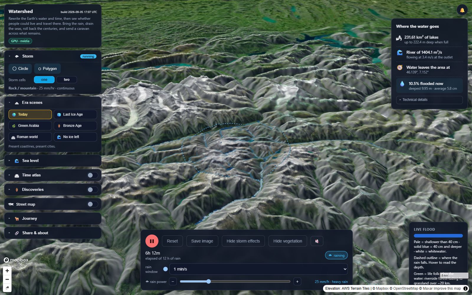
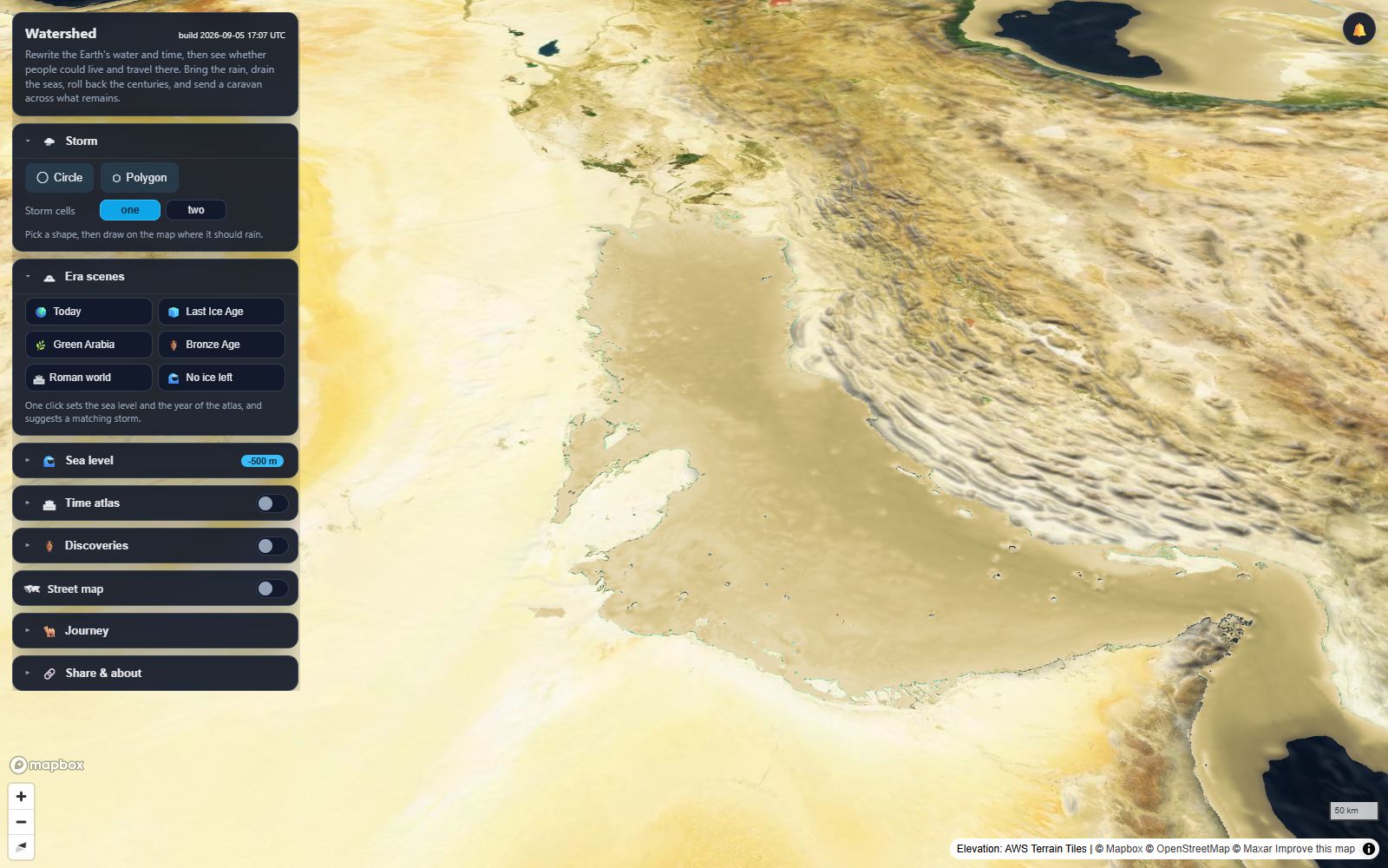
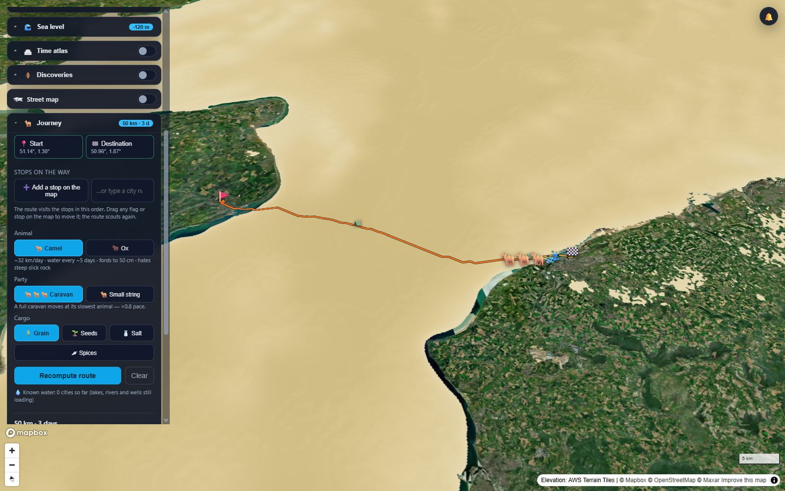
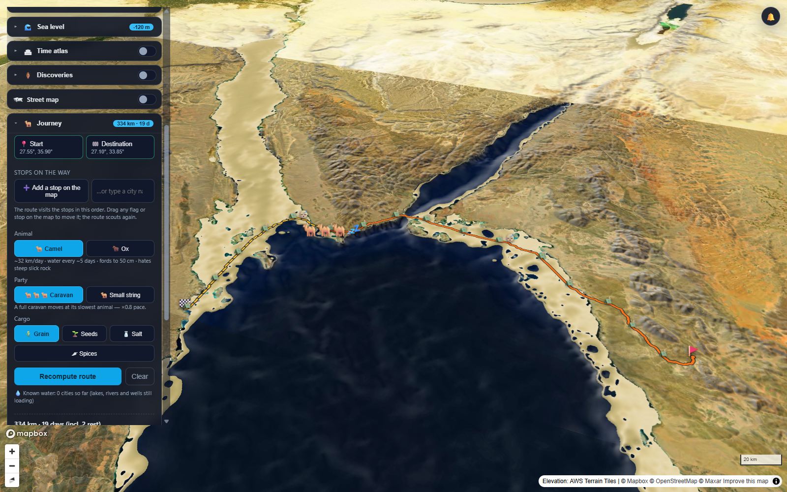
Every frame is the running app: an Alpine storm over the Interlaken lakes, a storm on the Grand Canyon, the Gulf drained to −500 m, the Channel floor at Ice Age sea level, a caravan on the dry Gulf of Suez, and the atlas rolling back to 3000 BC. Imagery © Mapbox © OpenStreetMap © Maxar; elevation AWS Terrain Tiles.
Water races down steep slopes, pools in basins, overflows into rivers and runs to the sea. Lakes form in valleys. When the rain stops, it soaks in and dries.
Turn the rainfall up over a desert canyon and watch a flash flood rush through. Choose continuous rain, an hourly burst or a daily storm, for hours, days or weeks. Longer rain, bigger floods. Over time vegetation greens along the rivers and lakes the rain leaves behind.
Lower or raise the world's sea level from −500 m to +80 m on real bathymetry. The Gulf drains into a river valley, Dover joins Calais, deltas drown. Presets for today, the last Ice Age at −120 m, and a world with no ice at all, or type the exact metre you want.
A year slider from 3000 BC to today: historical city names, ancient peoples, trade routes and empire borders. Discoveries shows every mapped historic site in view, plus curated atlases of Arabian stone monuments and world rock art. Era scenes set the sea level, the year and a matching storm in one click.
Place two flags, choose a camel or an ox, a party and a cargo. The route threads the valleys, walks around lakes and the sea, crosses rivers only where it must, and hops between the oases, wells and cities of the chosen year. Watch the caravan travel day by day, with camps, fords, thirst warnings and a survivability verdict. Lower the sea and it takes the land bridge.
Share links reproduce an entire scenario for someone else, storm, sea, year and journey included.
Every layer is real data with its source shown. Every number has a reason. Nothing is a calibrated engineering model, and the app says so. Do not use it to decide whether your house will flood.
Windows may show "Windows protected your PC" on first run because the installer is not yet code-signed. Choose More info, then Run anyway. The app installs per user and needs no administrator rights.
Watershed asks a simple question: what if it rains here? Pick any place on Earth and it loads the actual mountains, valleys, deserts and cities. Then you make it rain: a shallow-water solver runs on your graphics card, so water pools, overflows, runs downhill, gathers into rivers and floods the low ground. Watching where rain goes helps show why valleys, lakes and deserts look the way they do. The terrain does not change, and the flow is a simplified illustration, not a scientifically accurate model. Sea level and a historical atlas are there too as extras.
Use it as a rain and flood sandbox, a geography teaching tool, or just to watch a storm fill the Grand Canyon. Teachers: see the free Watershed lesson plans.
Out now on Steam for Windows, with every update through your Steam library. Also sold on itch.io, which includes the Windows installer and the unsigned Mac beta. Schools and other organisations need one licence per user, or write to us for a site licence.