Watershed
Everything on this page may be used freely in coverage of Watershed. Screenshots are from the current release on Mapbox satellite imagery; keep the attribution visible when you crop.
What it is
Watershed is an educational sandbox for real terrain. Draw an area anywhere on Earth, pick a storm, and watch real elevation data fill its valleys, carve rivers and run to the sea, live, with a shallow-water solver on the graphics card. Lower the oceans to the Ice Age and the Persian Gulf becomes a river valley; Dover joins Calais. Roll the atlas back to 3000 BC and cities take their old names. Then place two flags and send a camel caravan across what remains: it walks around lakes and the sea, fords rivers where it must, stops at the wells and cities of its century, and tells you whether the animals would survive.
Every layer is real, public data with its source shown. Every number has a reason. Nothing is a calibrated engineering model, and the app says so.
Facts for a caption
- Sea level from −500 m to +80 m on real bathymetry
- Rain from a desert cloudburst to a monsoon week, with friction, infiltration and evaporation
- Atlas from 3000 BC to today: city names, peoples, routes, empire borders
- Journeys by camel or ox, with up to eight stops, day by day
- Share links reproduce an entire scenario
- Built with WebGPU, Tauri and MapLibre; imagery by Mapbox; elevation from AWS Terrain Tiles; coastline from Natural Earth
Screenshots
Click a caption to open the full 1600×1000 image.
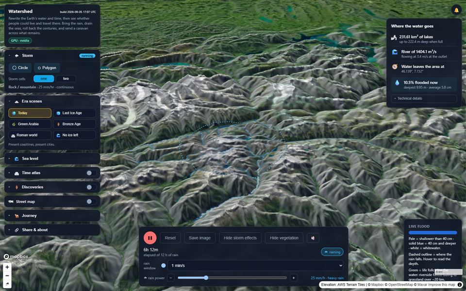
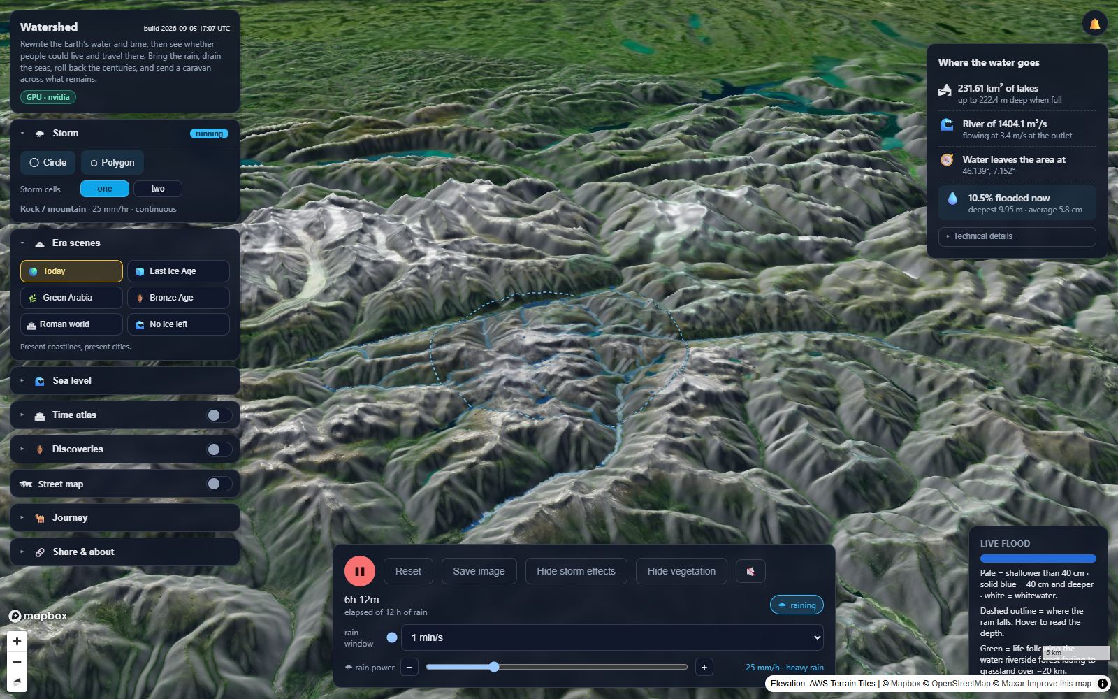
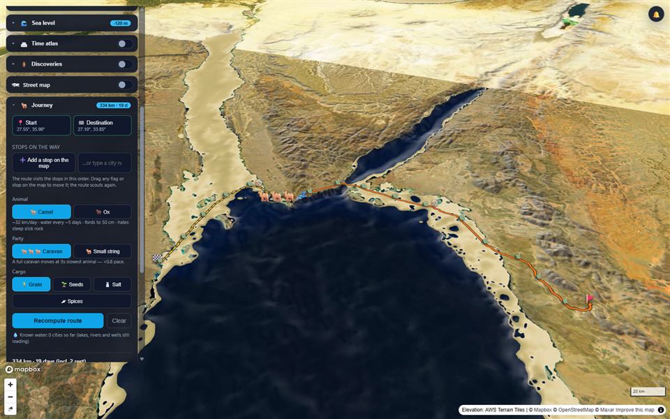
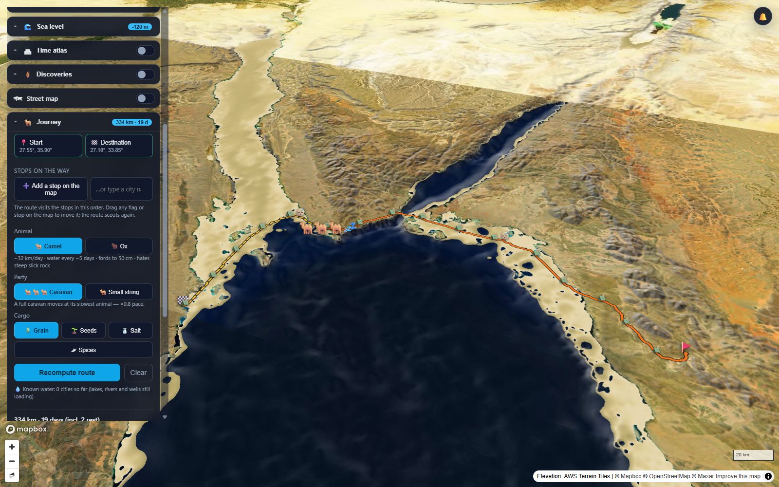
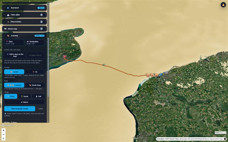
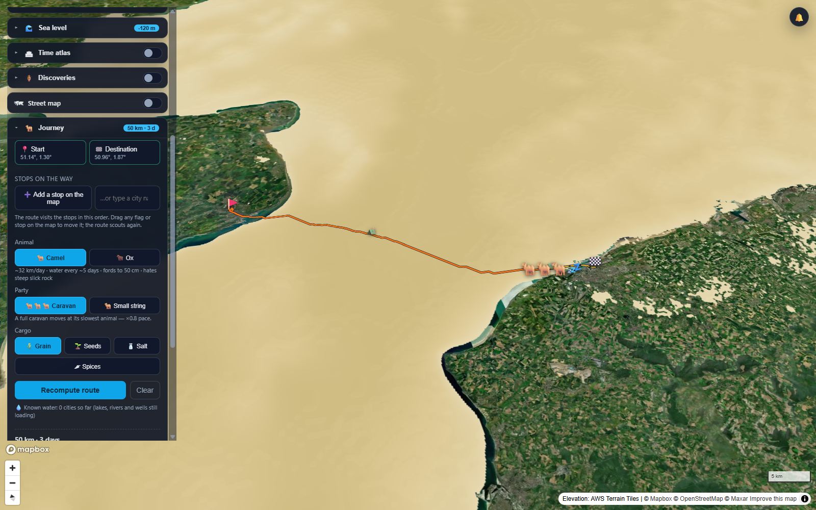
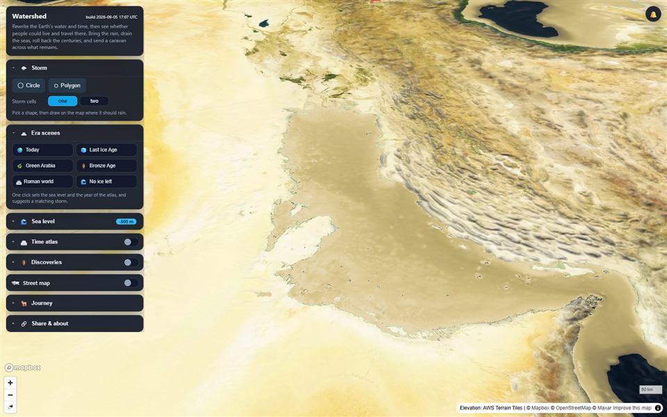
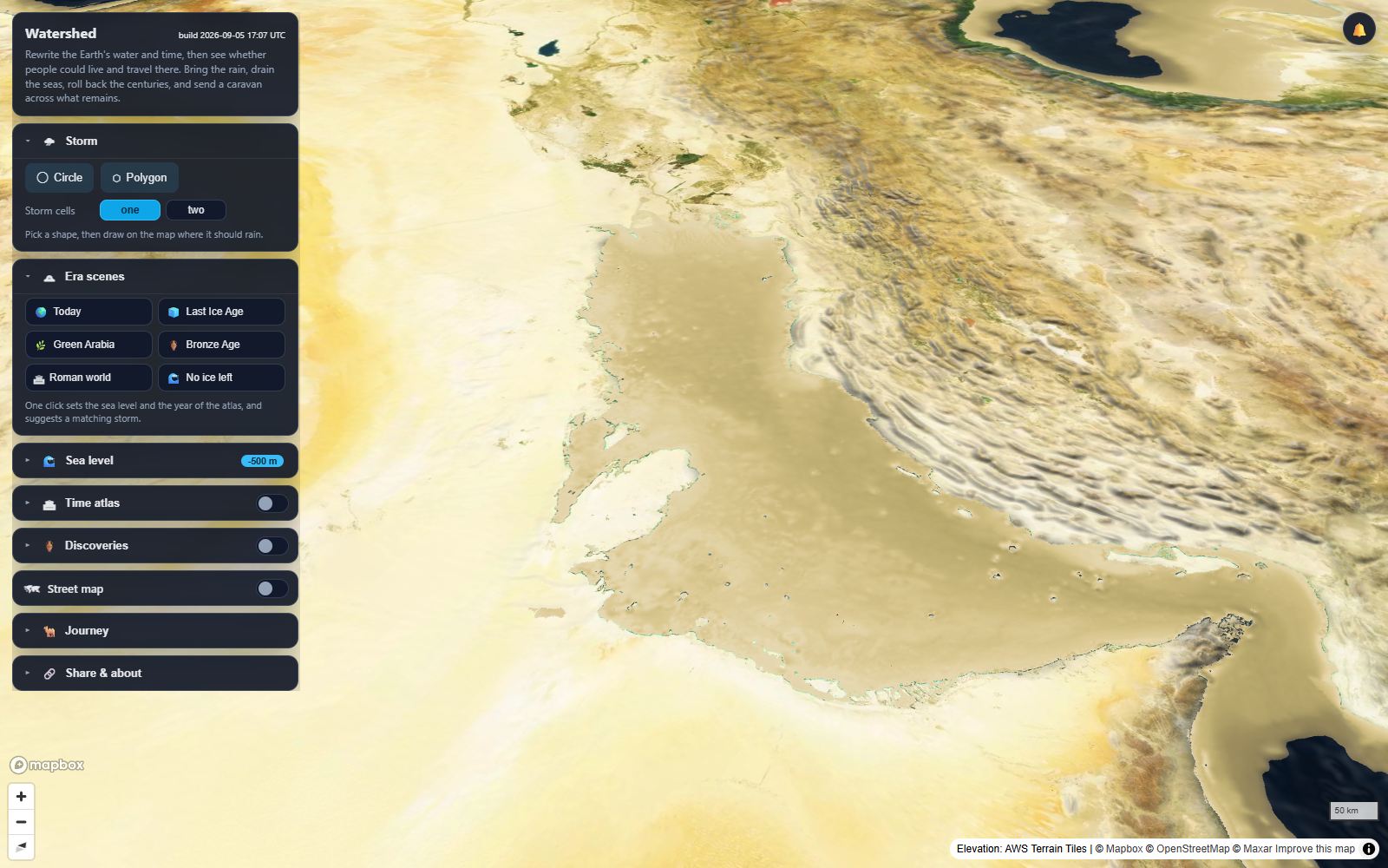
Logo
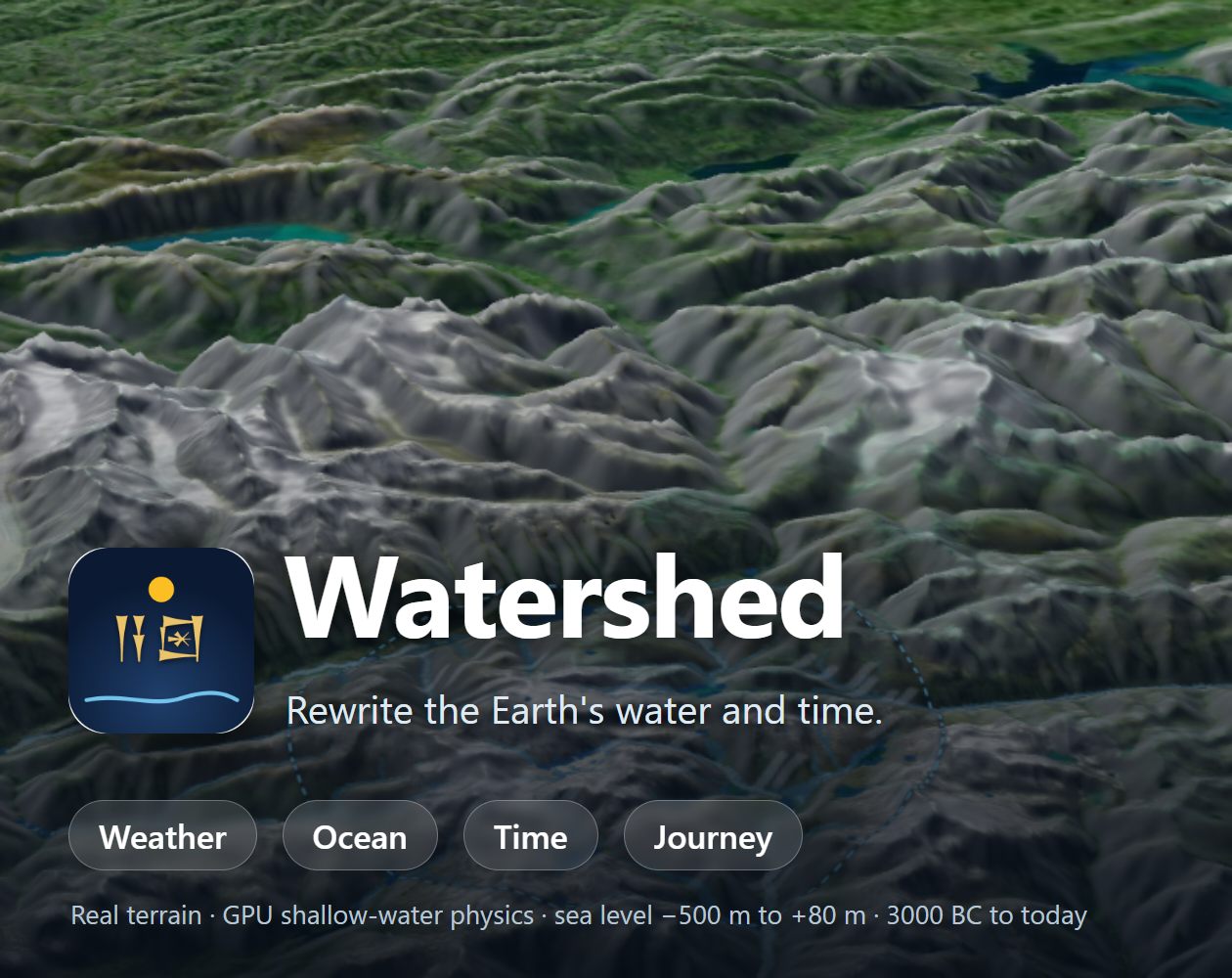
The icon is the Sumerian sign for "river" under a sun. Use it on dark or light backgrounds without recolouring. PNG · cover image 1260×1000
Quotable lines from the developer
"Every valley is the shape of rain that already fell. I wanted people to be able to bring that rain back and watch."
"Lower the sea by 120 metres and the map stops being a map. The Gulf is a valley, England is a peninsula, and you understand why the old roads went where they went."
"It is a teaching instrument, not an oracle. Every layer shows its source, and where the model is rough, the app says so."